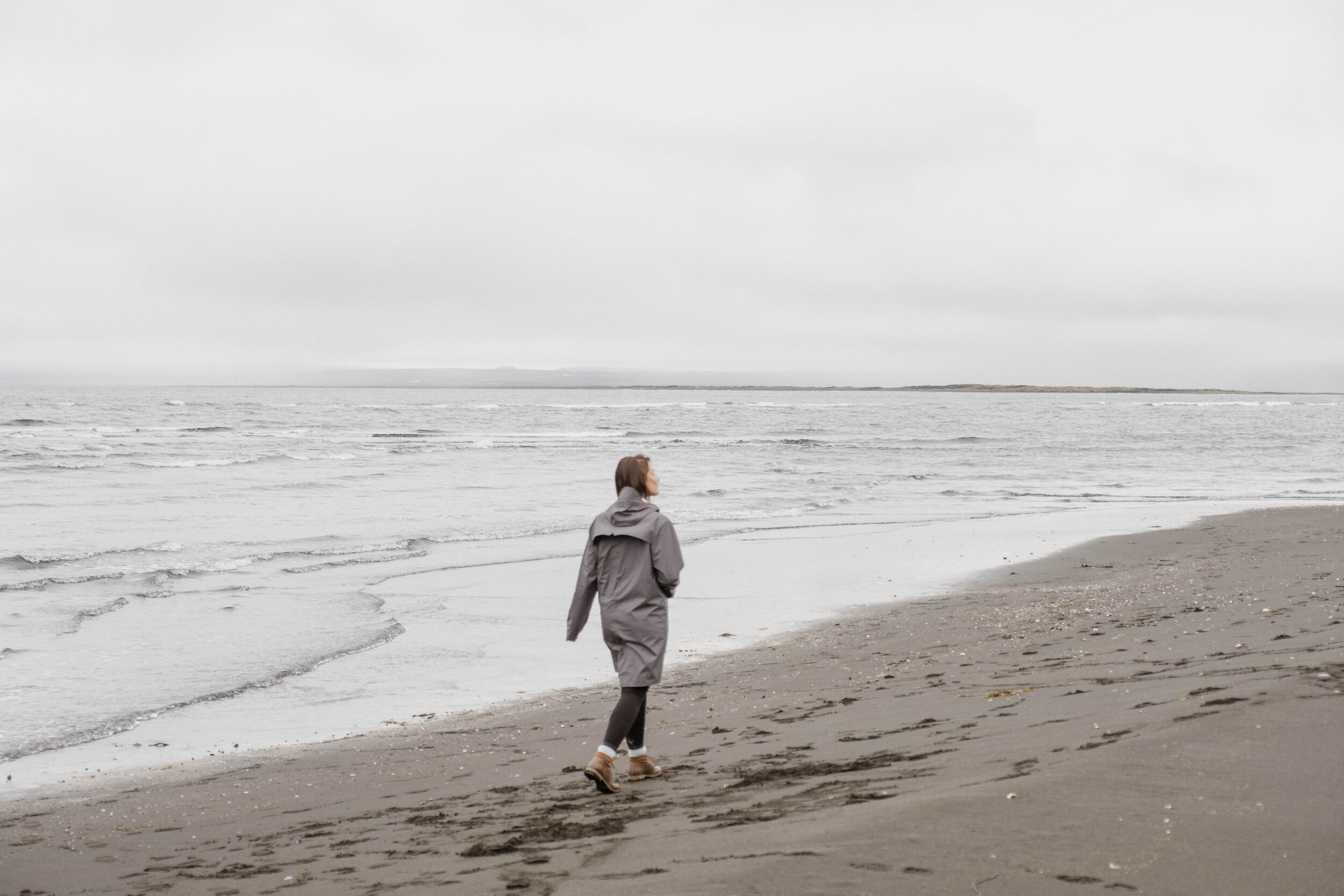
Iceland: North


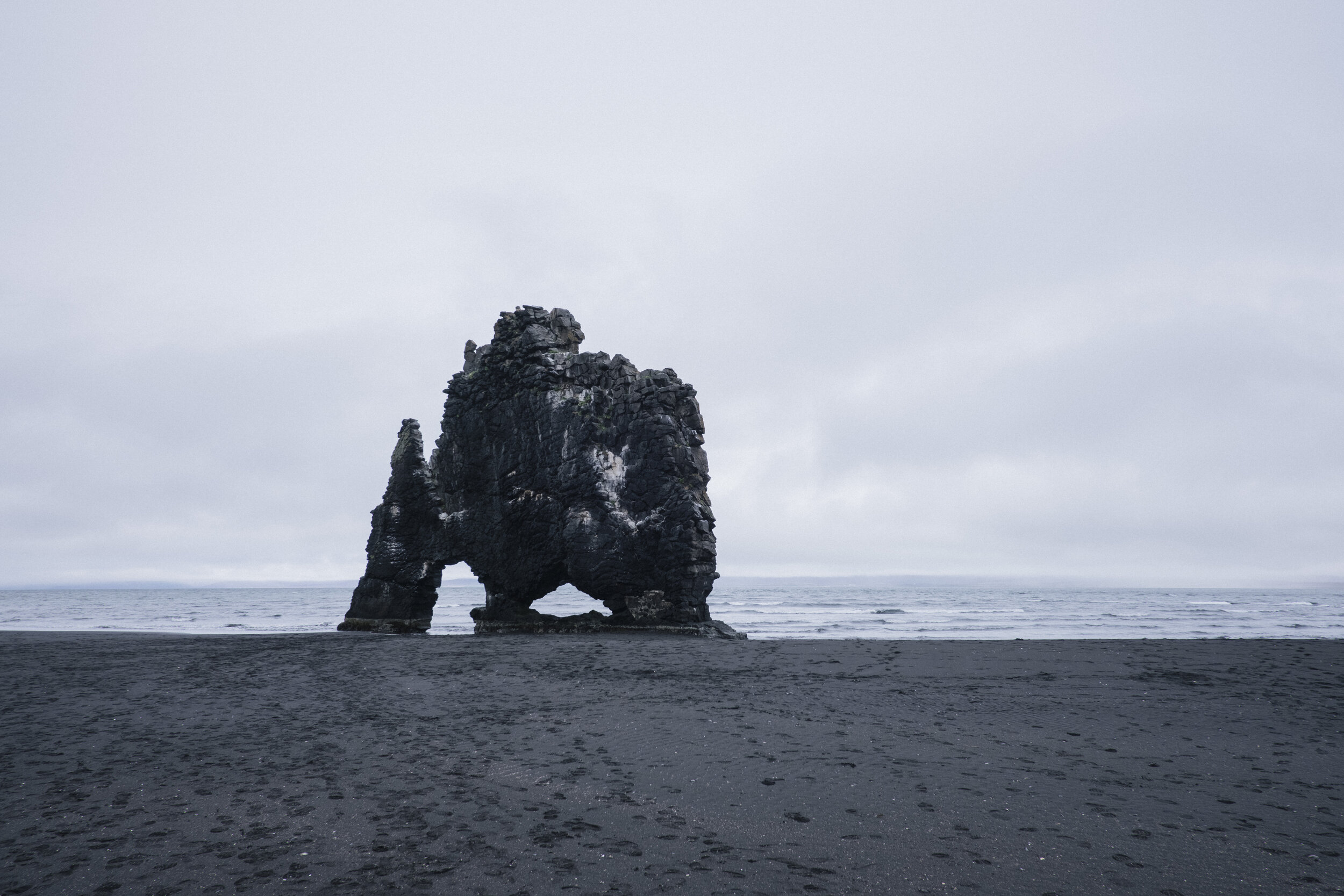
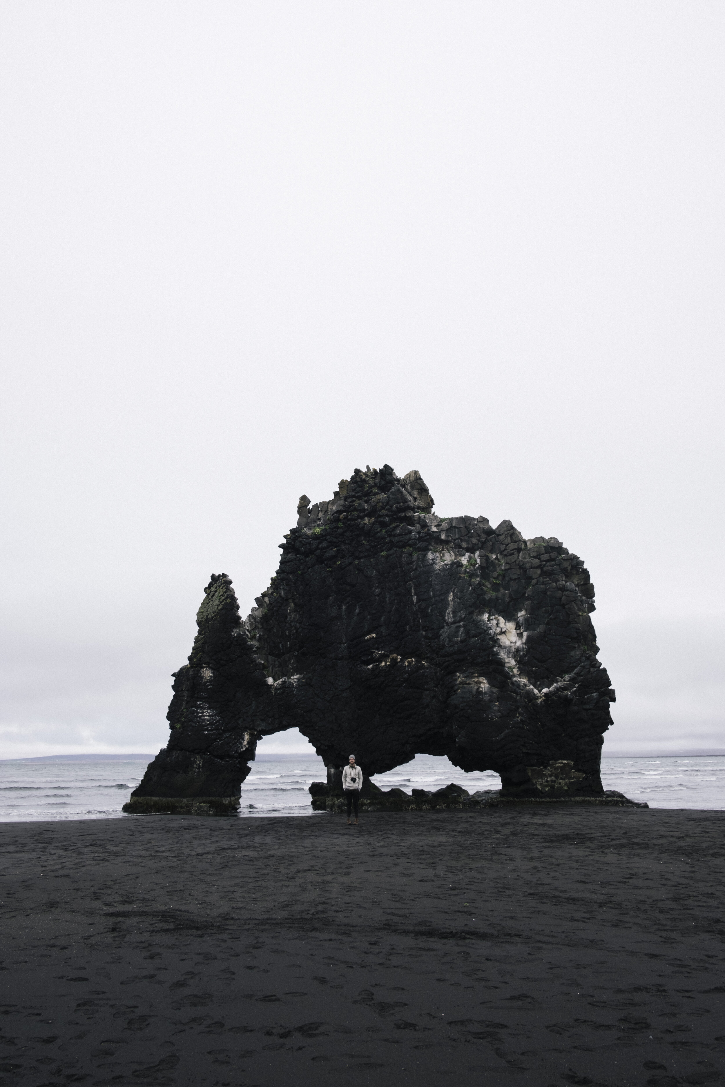
Hvítserkur
Sam and I did a solid amount of research before this trip, as we wanted to experience places that are a little less known. Hvítserkur was added to our route with only six days remaining before we headed to the island – it was somewhat out of the way, but we were intrigued. We wanted to make the most of our time there and find places that were a little more off the beaten path—and oh man, was this place off the beaten path. After 18.64 miles of driving on pothole-filled dirt roads, lined with fields of sheep (and one lamb), grasslands, and farms, we arrived at a standalone rock formation which was once a volcanic plug. We were fortunate enough to arrive at low tide, allowing us to walk right up to it and sit in its crevices.

Goðafoss
Goðafoss was one of the more popular stops along our route, and one of many places where we really started to see an attraction taken over by tourists. Even getting there in the early morning couldn't keep the droves of people away—and with good reason. We spent a few minutes above the falls, taking in the scenery and taking some photographs before looping around to the other side to get a new point of view. Once below the waterfall, we really got to appreciate the blue-hued waterfall from a different perspective than we were used to seeing—and with fewer people to obstruct the experience.


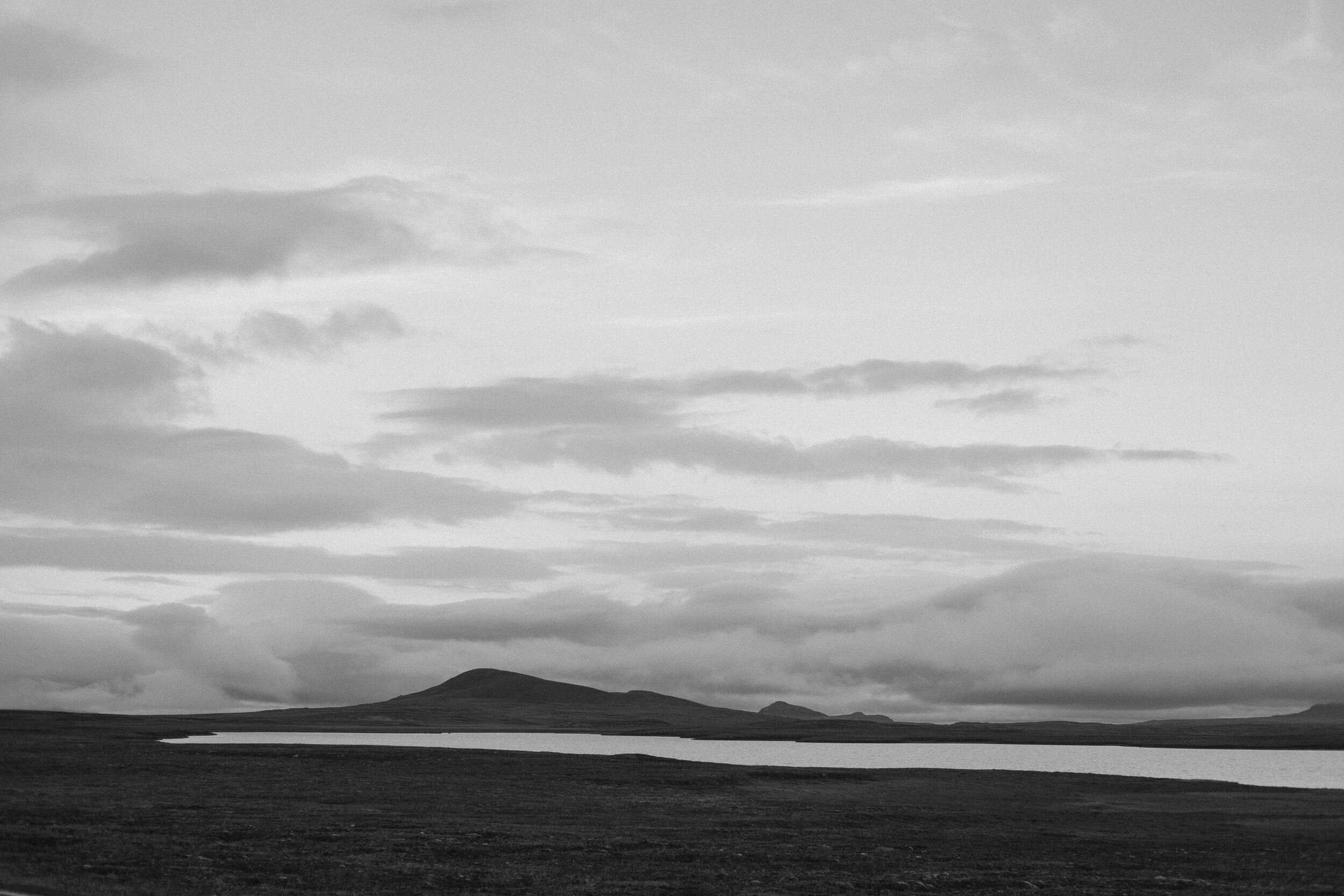
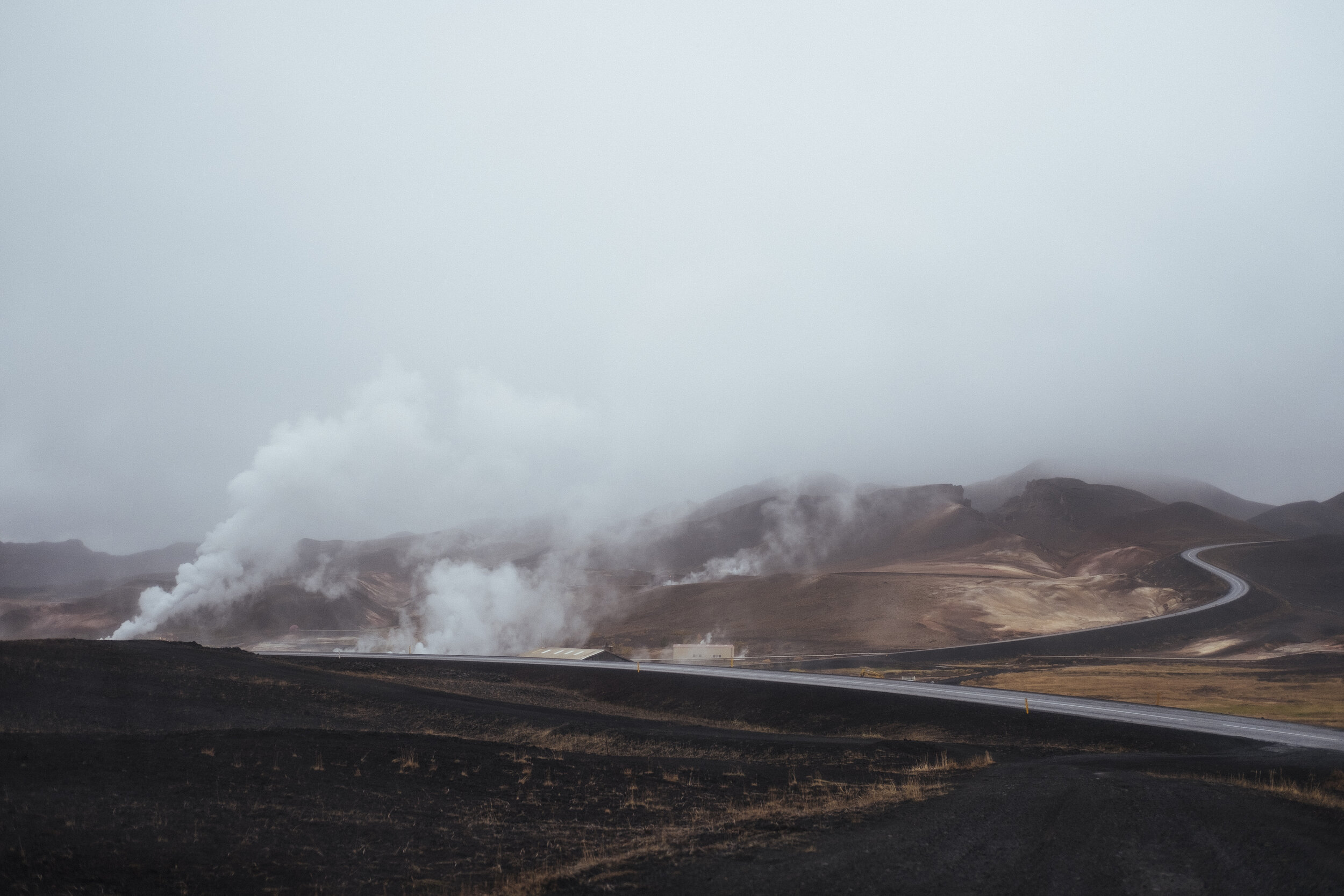
Mývatn
We were a few days into Iceland at this point and were still constantly surprised at how quickly the surroundings change. Over every hill is a new landscape and colorful scenes that change in an instant. We constantly were in awe and surprised at how things changed right before our eyes with no hint as to what was up next. This next place, however—we had an idea. Our hint? Sulfur. The smell of rotten eggs. We knew we were in Mývatn territory now.


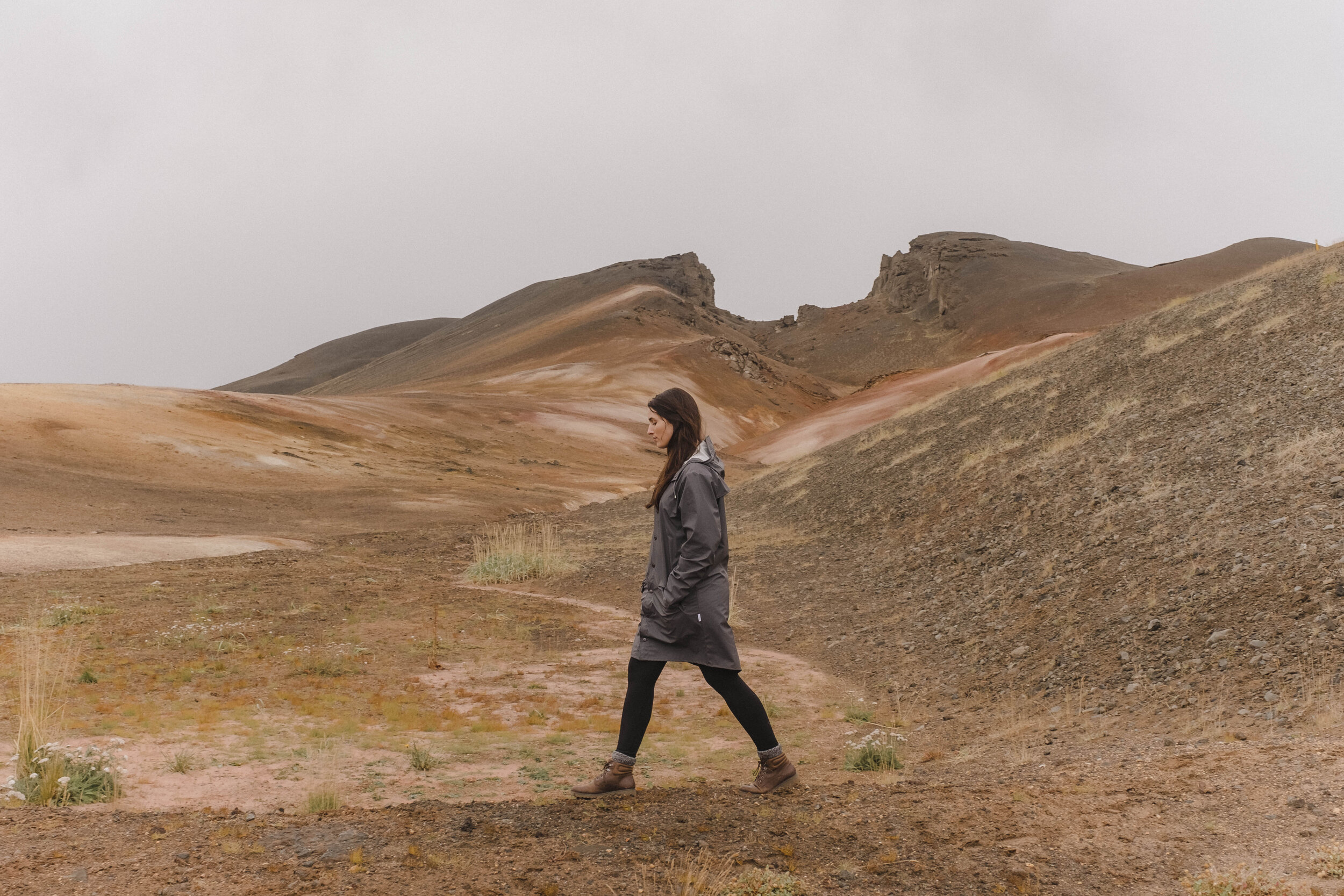
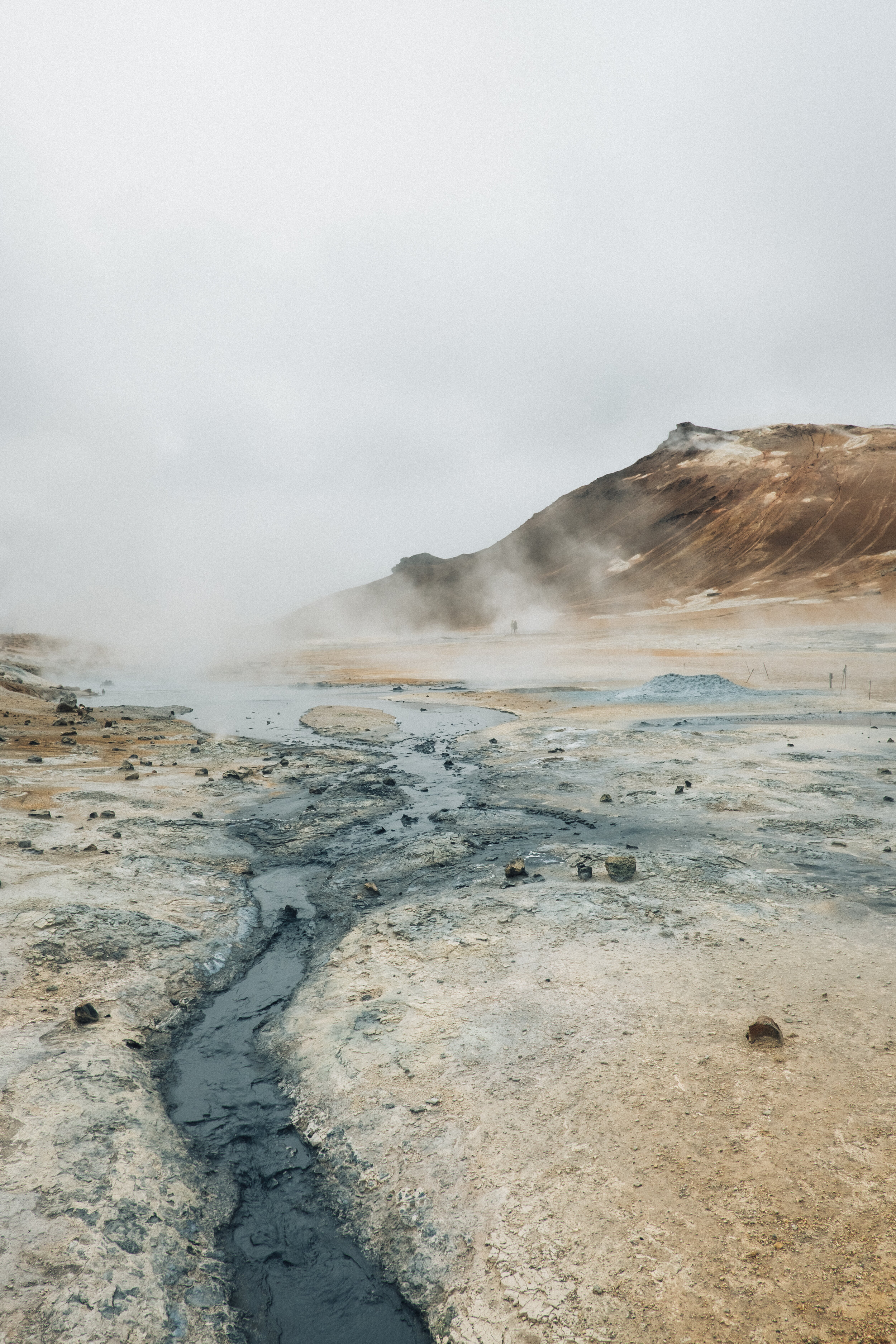
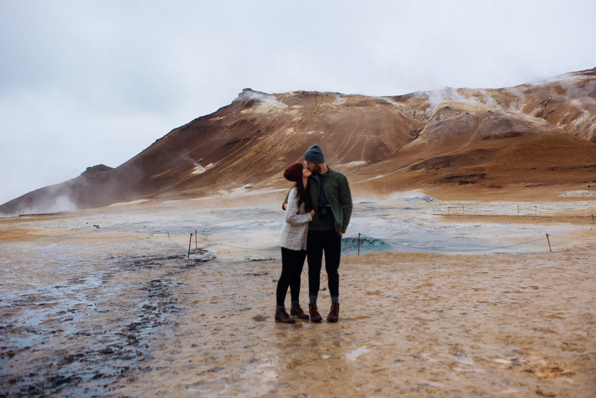
Hverir
This was one of the places I was most excited about. The color pallette of my dreams came to life—where warm and cool tones collide. Once you get past the smell, it's quite the place to take in. As Sam said in his post, it felt like we were on Mars and roaming an unknown planet.


Dettifoss
If Hverir was Mars, Dettifoss' landscape was the moon. The landscape was filled with cube-shaped rocks and clouds giving off hues of grey and purple. We thought we knew what we were getting into, but like previous points on our trip, we were not prepared for what lay ahead.


We heard it before we saw it: Europe's most powerful waterfall—a title well deserved. The view was paralyzing. All we could do was stare at it in its sheer size and beauty—mainly because you can't hear anything around you anyways. I'll be the first to admit that this was terrifying ... being so close to something that resembles a black hole. Clouds of mist that lead to nothing.


After one of our longest days, we headed to our campsite and refueled on ramen, crackers and candy—we weren't here for fine dining. In the morning we'd arrive at our next location towards the East: Egilsstaðir.